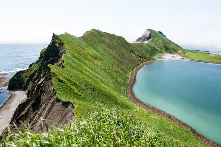
The Kuril Islands form part of the ring of tectonic instability encircling the Pacific Ocean referred to as the Ring of Fire. The islands themselves are summits of stratovolcanoes that are a direct result of the subduction of the Pacific Plate under the Okhotsk Plate, which forms the Kuril Trench some 200 kilometres (120 mi) east of the islands. The chain has around 100 volcanoes, some 40 of which are active, and many hot springs and fumaroles. There is frequent seismic activity, including a magnitude 8.5 earthquake in 1963 and one of magnitude 8.3 recorded on November 15, 2006, which resulted in tsunami waves up to 1.5 metres (5 ft) reaching the California coast.[6] Raikoke Island, near the centre of the archipelago, has an active volcano which erupted again in June 2019, with emissions reaching 13,000 m.
The climate on the islands is generally severe, with long, cold, stormy winters and short and notoriously foggy summers. The average annual precipitation is 30–40 inches (760–1,020 mm), most of which falls as snow.
The chain ranges from temperate to sub-Arctic climate types, and the vegetative cover consequently ranges from tundra
in the north to dense spruce and larch forests on the larger southern islands.
The highest elevations on the islands are Alaid volcano (highest point: 2,339 m or 7,674 ft) on Atlasov Island at the
northern end of the chain and Tyatya volcano (1,819 m or 5,968 ft) on Kunashir Island at the southern end.